A field before a neighbourhood
North Laine was one of the town’s five large arable fields.
Source: Brighton Dome: the market-garden history of North Laine (opens in a new tab) ↗
The market gardens beneath the shopping streets
North Laine
North Laine’s independent shops sit on an older landscape of fields and market gardens. Street names and routes still offer clues to the area’s working past.
Discover the facts ↓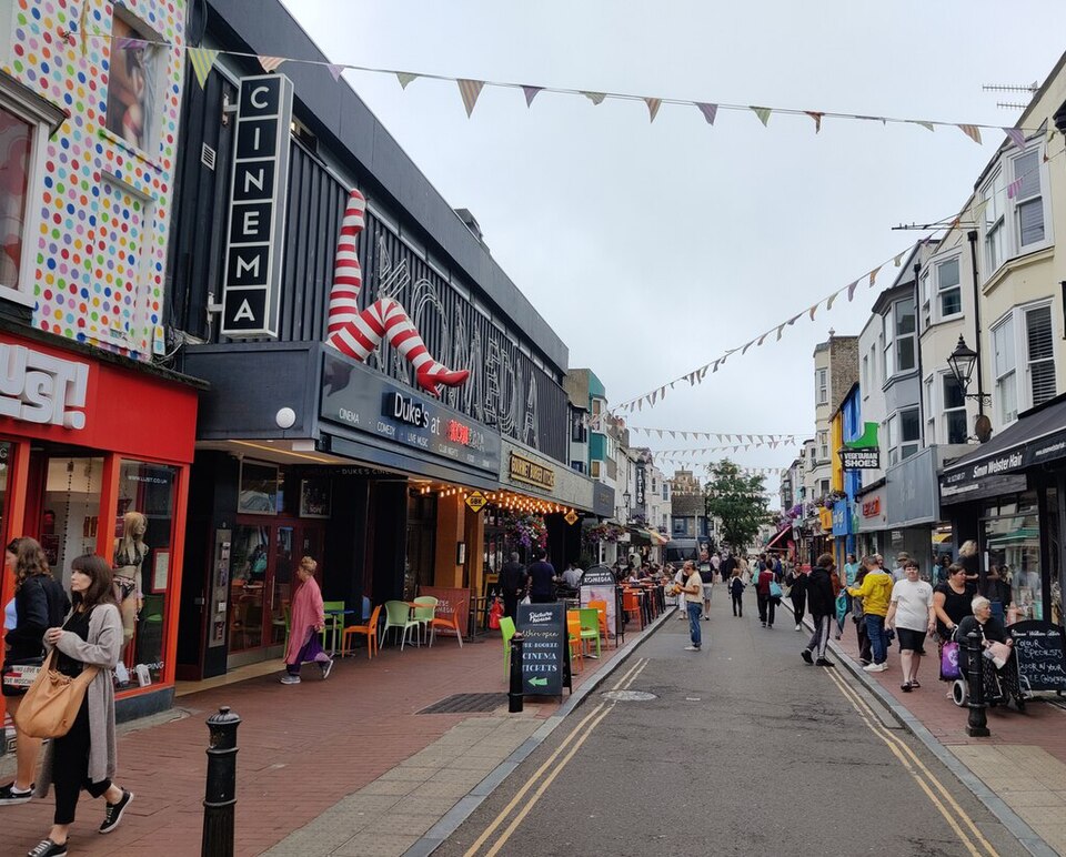
LOOK A LITTLE CLOSER
North Laine was one of the town’s five large arable fields.
Source: Brighton Dome: the market-garden history of North Laine (opens in a new tab) ↗Church Street, Gloucester Road, Trafalgar Street and Cheapside followed former east–west leakways.
Source: Brighton Dome: the market-garden history of North Laine (opens in a new tab) ↗Church Street was once called North Backside, then Spring Walk; it received its present name in 1790.
Source: Brighton Dome: the market-garden history of North Laine (opens in a new tab) ↗Brighton Dome’s heritage research describes North Laine as one of five large arable fields around the town. Cultivated strips were divided by paths called leakways. Some of those routes became familiar streets, so a present-day shopping walk can follow the shape of a much older landscape.
Brighton Dome: the market-garden history of North Laine (opens in a new tab) ↗
Explore the independent shops at your own pace, and remember North Laine is a different area from The Lanes. Our individual shop pages offer a few starting points.
Researched using venue, museum and local visitor information. Historical claims are linked to their sources. Visitor conditions and availability can change; check directly. Last checked 21 October 2026. Photographs retain their individual licences and show the stated capture dates.