1 September 1887 · Opening
The National Trust records the opening of the railway from the coast route west of today’s Hove station, climbing through Hangleton.
Read the official source ↗ (opens in a new tab)
LOST RAILWAY · Hove to the Downs
The Dyke Railway through Hangleton
Before this was a familiar residential area, a railway carried sightseers inland towards Devil’s Dyke. Parts of its former corridor help explain the landscape today.
Explore the story ↓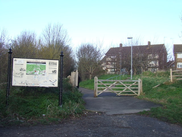
The National Trust records the opening of the railway from the coast route west of today’s Hove station, climbing through Hangleton.
Read the official source ↗ (opens in a new tab)The council’s Hangleton study records the railway’s closure in 1938.
Read the official source ↗ (opens in a new tab)The Dyke branch was separate from the steep funicular at Devil’s Dyke, which the National Trust dates to 1897.
Read the official source ↗ (opens in a new tab)The branch climbed for more than three miles, mostly at a gradient of 1 in 40. It was part of the Victorian visitor landscape around Devil’s Dyke, alongside attractions at the hill. The former railway trail pictured here is a later view of the old corridor, not a photograph of the railway in operation. Local streets and buildings now occupy other parts of the old route.
Use current official walking information and signed public paths. The old railway alignment is not a continuous public right of way throughout: do not follow it across private land or assume every former structure is accessible.
Checked 21 October 2026. Programmes, access and opening times can change. This is Via’s independent guide; listings do not imply a partnership. Photographs show real places at their credited dates, not film or television stills. Images are resized and cropped for display.